
Introduction
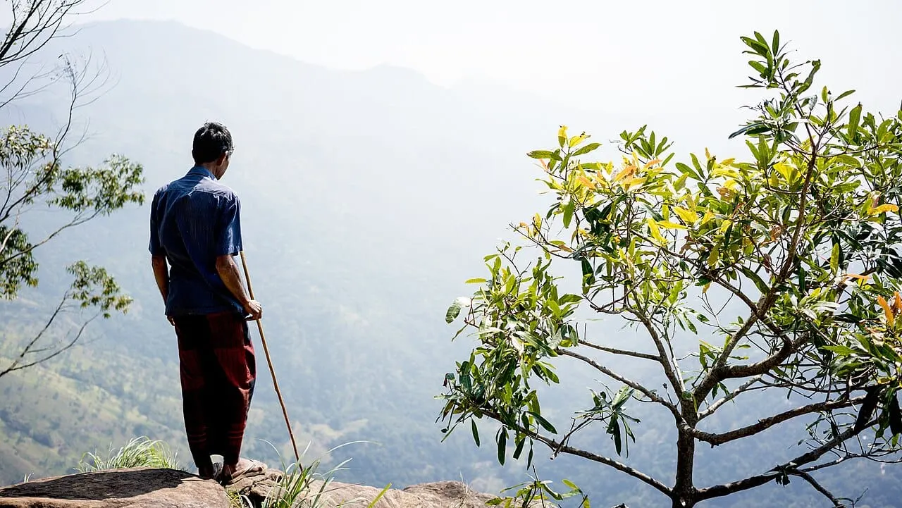
Ella Rock rises above the tea‑clad valleys of Sri Lanka’s hill country, offering a panoramic view that rivals any world‑class summit. The trail weaves through misty eucalyptus forests, rattling tea plantations, and rugged ridge‑lines, rewarding hikers with a sunrise that paints the sky in gold. While the climb is often described as easy to moderate, the unmarked path, sudden elevation gain, and tropical climate can catch the unprepared off guard. This guide breaks down every detail—from paperwork to packing—so you can tackle the ascent confidently and soak in the scenery without unnecessary stress.
Quick answer: The hike to Ella Rock is a 10 km round‑trip (≈350 m elevation gain) that takes 2‑4 hours. It is easy‑to‑moderate for those with reasonable fitness, but you’ll need good shoes, water, and preferably a local guide to stay on track.
What You’ll Need
- Passport & ETA confirmation – printed or digital proof of your free Electronic Travel Authorization (eta.gov.lk).
- Cash in LKR – at least 2,500 LKR (≈US$8) for guide fees, entry tickets, and snacks.
- Smartphone with Maps & AllTrails app – offline maps help when the trail goes dark.
- Sturdy hiking shoes or trainers – grip on loose rocks and wet roots.
- Lightweight rain jacket & breathable layers – humidity can rise quickly in the eucalyptus forest.
- Reusable water bottle (1 L) – bottled water sells for about 120 LKR (US$0.40) per litre; refill before you start.
- Snack (energy bar or fruit) – no vendors along the route.
- Headlamp or torch – essential for the unmarked, tree‑filled sections after dusk.
- 30‑45 minutes – minimum start‑to‑summit time; plan for a full day to enjoy sunrise or sunset.
Step 1: Arrive in Ella and Reach Kithalella Railway Station
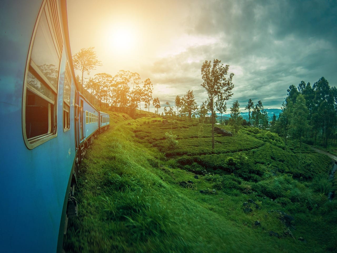
Travel from Kandy to Ella by train (the scenic “Podi Menike” runs daily). (Note: as of October 2026 there is no through train between Kandy and Ella while the Kandy–Nanu Oya section is repaired; travel to Nanu Oya by road and continue by train. Check Sri Lanka Railways before you go.) Purchase a second‑class ticket at the Kandy station for roughly 2,500 LKR (US$8). The train departs around 07:00 and arrives in Ella at 10:30 – check the latest timetable on the Sri Lanka Railways website. Disembark at Kithalella Railway Station, about 2 km from town. The station sits beside the main trailhead; a small sign points toward the “Ella Rock Viewpoint” fee office (930 LKR for adults). If you prefer a taxi, negotiate a fare of 12,000‑20,000 LKR (US$40‑66) for a round trip to the start point and back.
Step 2: Pay the Viewpoint Fee and Gather Trail Information
Proceed to the modest ticket booth near the restroom block. Pay 930 LKR (≈US$3.10) for adult entry; children under 12 pay 450 LKR. The staff will hand you a simple map and remind you that the path is unmarked beyond the main bridge. Keep the receipt; you’ll need it if you decide to return by taxi. While you’re there, ask the attendant for the current condition of the eucalyptus section—recent rain can make it slippery.
Step 3: Start the Trek Through Tea Plantations
Leave the station and follow the well‑trodden dirt track eastward toward the tea fields. The first kilometre is a gentle ascent, offering sweeping views of rolling hills and the iconic 9‑Arch Bridge in the distance. Walk at a comfortable pace (≈3 km/h) and drink water regularly; the temperature at 1,000 m elevation hovers around 20‑25 °C (68‑77 °F) in the morning. After about 15 minutes you’ll reach a small footbridge crossing a shallow stream—cross carefully, as the rocks can be moss‑slick.
Step 4: Navigate the Unmarked Forest Section
Beyond the bridge, the trail becomes less obvious. Look for a faint line of broken branches that locals use to mark the route. If you have the AllTrails app, enable the “offline GPS” feature; the app will alert you when you deviate. The forest is dominated by towering eucalyptus trees that exude a cooling scent but also trap humidity. Watch for exposed roots and loose stones—one misstep can twist an ankle. This segment lasts roughly 1 km and takes 30‑45 minutes, depending on your confidence in route‑finding.
Step 5: Hire a Local Guide (Highly Recommended)
At the midway clearing, a small kiosk often offers guide services for 2,500‑3,500 LKR (US$8‑12). While not legally required, a guide dramatically reduces the risk of getting lost, especially after dark. Guides speak English and can share stories about the tea estates, wildlife, and the legend of Ella Rock. If you choose to go solo, bring a fully charged power bank and a printed map; the path can feel like a maze after the trees close in.
Step 6: Conquer the Final Steep Ascent
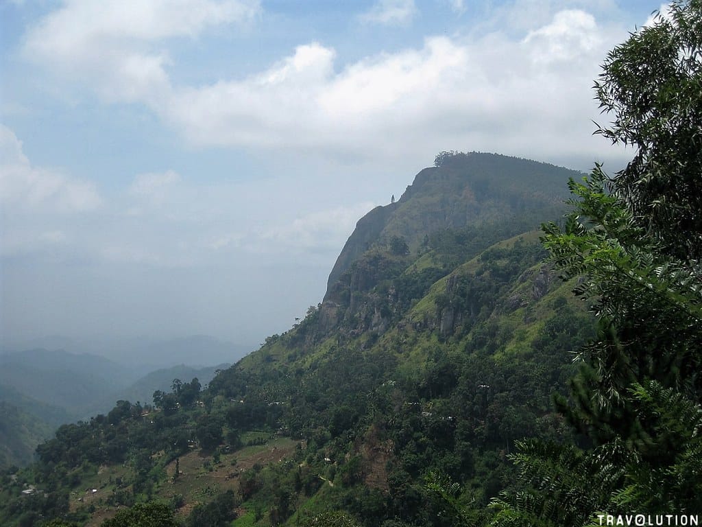
The last 300 m of elevation gain is a series of stone steps cut into the ridge, followed by a short scramble through denser eucalyptus foliage. The climb is steep but short; most hikers reach the summit in 15‑20 minutes. Keep your pace steady, use your hands on the steps if needed, and stay hydrated. The summit sits at 1,041 m (3,415 ft) above sea level, offering a 360° view of the Ella Gap, distant coastline, and a patchwork of tea plantations that seem to ripple forever.
Step 7: Enjoy the View and Capture the Moment
Take at least 30 minutes to rest, snack, and photograph the landscape. Sunrise hikers are rewarded with a sky that transitions from deep indigo to molten orange, while sunset visitors witness the valley bathed in golden light. Remember to respect the environment: pack out all trash, stay on the path, and avoid disturbing any wildlife such as harmless snakes or occasional leeches.
Step 8: Descend Safely and Return to Ella
Retrace your steps, keeping an eye on the same markers you used on the way up. The descent is quicker but can be slippery on wet roots, so watch your footing. When you reach the ticket booth, hand in your receipt if you used a taxi; the driver will usually wait for you at the station. If you hired a guide, settle any remaining fee before leaving. Finally, treat yourself to a cold king coconut at a nearby stall—a perfect way to replenish electrolytes after the hike.
Pro Tips
- Go early: Start before 09:00 to avoid the midday heat and to catch the sunrise if you wish.
- Bring a waterproof phone case: Sudden rain is common in the hills; a dry phone protects your navigation apps.
- Wear long trousers: They deter leeches and protect against thorny underbrush.
- Carry a small first‑aid kit: Include blister pads, antiseptic wipes, and antihistamine for possible insect bites.
- Use a reusable water bottle: Keeps water cool and reduces plastic waste; refill at the station’s tap before you start.
- Hire a guide for night hikes: Even with a headlamp, the unmarked route can be confusing after dusk.
- Check the train schedule: If you plan to return by rail, verify departure times; the last train from Ella departs around 20:00.
- Respect local customs: Greet villagers politely; a simple “Ayubowan” goes a long way.
Common Mistakes to Avoid
- Skipping the fee office: You’ll be turned back at the trailhead if you haven’t paid the entry fee.
- Wearing sandals: Loose shoes increase the risk of ankle twists on roots and rocks.
- Carrying too much cash: Most vendors accept only small bills; keep larger notes in a secure pocket.
- Ignoring weather forecasts: Sudden showers can turn the path into a slippery slide.
- Relying solely on GPS: Signal loss is common in dense eucalyptus; always have a physical map as backup.
- Leaving trash behind: The area is a protected landscape; litter harms both wildlife and the view.
Location
FAQ
Is a guide mandatory for the Ella Rock hike?
A guide is not legally required, but the trail is unmarked and can be confusing, especially after dark. Hiring a local guide (≈2,500‑3,500 LKR) greatly reduces the chance of getting lost and adds cultural insight.
How long does the round‑trip take?
Typical hikers spend 2‑4 hours total, depending on fitness, pace, and how long you linger at the summit. Start early to allow for breaks and photo time.
What is the best season to hike Ella Rock?
The dry months from December to March offer clear skies and comfortable temperatures. The monsoon period (May‑September) brings frequent rain and higher humidity, making the forest section slippery.
Can I hike the trail at night?
Night hikes are possible with a strong headlamp, but the unmarked sections become difficult to navigate. If you plan a nocturnal trek, a guide is strongly advised for safety.
How much water should I carry?
Bring at least 1 litre of water per person, plus an extra half litre as a safety buffer. Refill before you start; there are no water points along the trail.
Are there any dangerous animals I should watch for?
The area hosts harmless snakes and occasional leeches. There are no large predators, but always watch where you step and keep your feet covered.
What entry fee applies to children?
Children under 12 pay 450 LKR (≈US$1.50) for the viewpoint fee; adults pay 930 LKR (≈US$3.10). No additional park fees apply to Ella Rock.
Final Thoughts
Hiking Ella Rock blends modest physical effort with a profound visual payoff. By preparing the right gear, respecting the unmarked path, and perhaps hiring a knowledgeable guide, you’ll turn a simple walk into a memorable adventure that showcases Sri Lanka’s hill‑country charm. Take the time to breathe in the eucalyptus scent, watch the clouds drift over the valley, and let the summit’s quiet inspire your next journey. Happy trekking!